No Storms Brewing in the Atlantic as Nature Coast Hits Peak Hurricane Season
The National Hurricane Center's latest outlook shows a quiet Atlantic even as the calendar turns toward the season's historic peak.
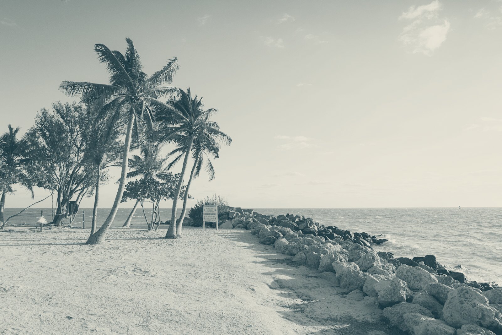
As of the National Hurricane Center’s Tuesday update, there are no tropical cyclones anywhere in the Atlantic basin, and none are expected to form in the next seven days. For Cedar Key and the rest of the Nature Coast, that means a clear stretch heading into the traditional peak of hurricane season, which runs from mid-August through late October.
What the NHC data shows
The National Hurricane Center lists “Disturbances: None” for both the two-day and seven-day Atlantic outlooks as of the Tuesday morning update. That covers the Gulf of Mexico and the waters off Florida’s Gulf coast, the areas that matter most for storm tracks reaching Cedar Key, Yankeetown and the rest of Levy County’s shoreline.
The quiet extends to NOAA’s broader seasonal outlook. The agency’s public update, referenced on the same NHC page, says NOAA is maintaining its prediction for a below-normal Atlantic hurricane season. That forecast has been in place since before the season’s June 1 start and has not been revised upward as of this week.
Activity elsewhere in the Pacific is a different story, though not one that reaches this coast. The Central Pacific Hurricane Center is tracking Tropical Storm Lala, with sustained winds near 70 mph as of Monday evening, moving west well south of Hawaii. In the Eastern Pacific, forecasters are watching two areas of low pressure - one south of Mexico with a 70 percent chance of development over seven days, another east-southeast of Hawaii - but both are far outside any path that would affect Florida.
What this means, and does not mean, locally
A quiet outlook is not a guarantee. The NHC’s seven-day window is just that - seven days - and conditions in the Atlantic and Gulf can change quickly during the peak months. Levy County’s emergency management office and the Cedar Key city clerk’s office continue to recommend residents keep hurricane kits current and review evacuation routes regardless of the current outlook, standard guidance for this time of year on a barrier-adjacent coast with a single causeway in and out.
No watches or warnings are in effect for any part of the Gulf, and no storm surge products have been issued for the Nature Coast. The NHC’s tropical weather outlook is updated multiple times daily during the season, and residents can check current conditions directly through the agency’s website rather than relying on secondhand storm chatter, a habit worth keeping given how quickly Gulf systems have intensified in recent seasons.
The bigger picture
NOAA’s below-normal seasonal call, if it holds, would mark a break from several recent above-average Atlantic seasons that have tested Levy County’s storm response and Cedar Key’s flood-prone low ground. The agency has not indicated when its next seasonal update or potential revision will be issued. Florida & Cedar Key News will continue tracking NHC bulletins through the fall and will report any new development that enters the Gulf or approaches Florida’s Gulf coast.
For now, the record is simple and checkable: no active storms, no immediate threats, and a seasonal outlook that remains, as of this week, unchanged.